Service · naval
3D scanning of vessels.
We measure your vessel exactly as it is today, with drones, LiDAR and laser scanners, and deliver its drawings, 3D model and point cloud. To repair, modify or regularize it without relying on outdated drawings. Over 50 vessels scanned in Peru and Ecuador.
What 3D scanning a vessel involves
It is the measurement of the vessel’s real geometry (hull, deck, superstructure and interiors) with millions of points. From that point cloud we rebuild the vessel’s drawings and 3D model as built.
It is most useful when the vessel has no drawings, when the drawings it has no longer match what was built, or when a repair or modification has to be decided with exact measurements.
What it is for
When shipowners and shipyards use it
-
Repairs and dry-docking
Real measurements before cutting steel, to plan the dry-docking and quote without surprises.
-
Modifications
Changes to length, holds or superstructure designed on the real hull.
-
Drawings for DICAPI
General arrangement, lines plan and structure as the basis of the drawing package for DICAPI, Peru’s maritime authority.
-
Fleet digital twin
Each vessel’s model in Yakuscan Twin, with its equipment, documents and maintenance.
Process
From vessel to drawings, in four steps
- 01
Capture plan
We define what will be measured (hull, deck, engine room, parts) and whether the vessel is in the shipyard or at the dock.
- 02
Field capture
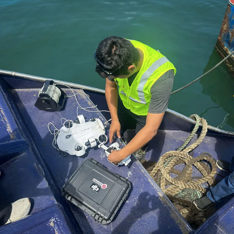
Drone for the hull and superstructure in 1 to 2 hours; LiDAR for the hull in dry dock and the interiors; industrial laser for propellers, shafts and rudders.
- 03
Processing
We merge the scans into a single point cloud and rebuild the NURBS hull model and the 3D mesh.
- 04
Drawings and platform
We produce the drawings and publish everything in Yakuscan, explorable in the browser by your whole team.
Deliverables
What we deliver
Deliverables are chosen to suit the job. These are the usual ones:
- General arrangement (GA)
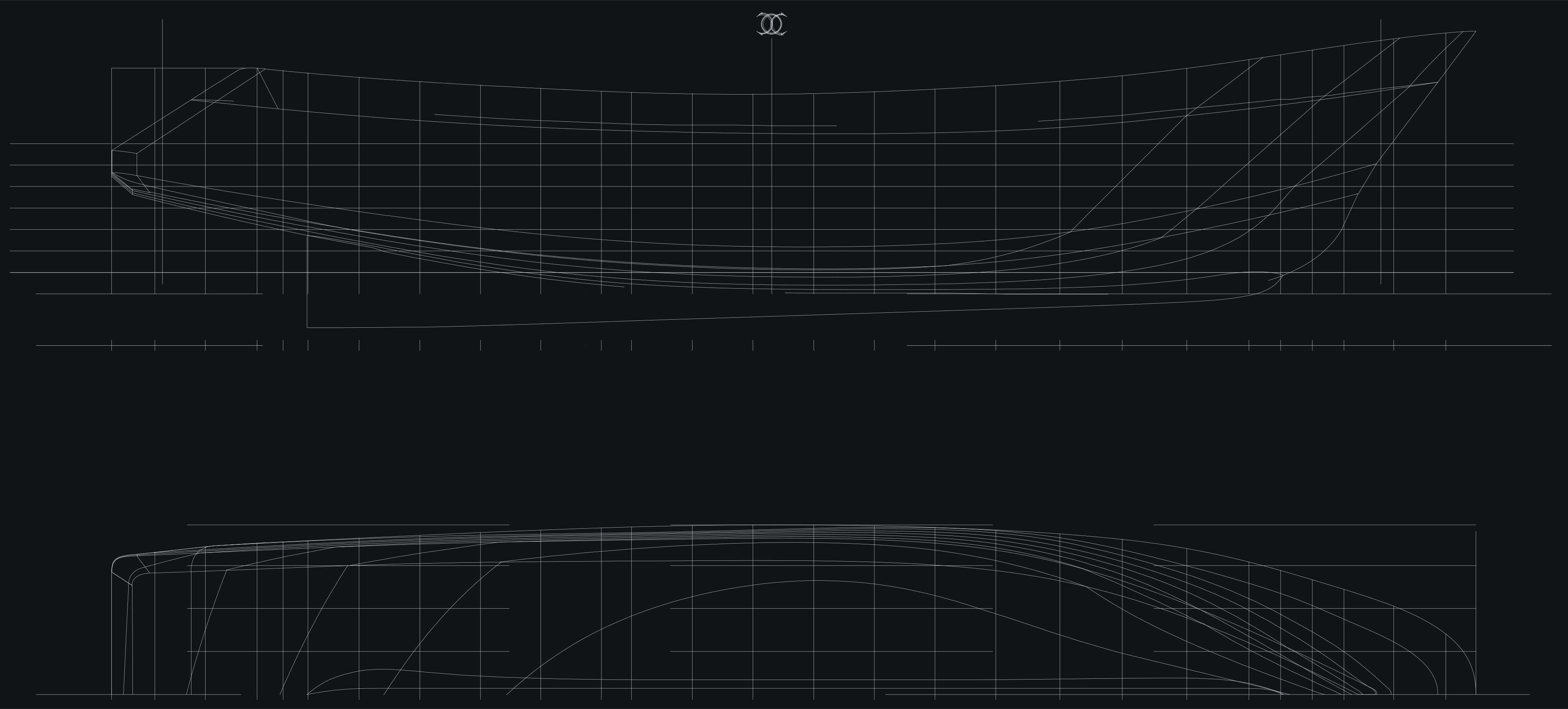
- Lines plan
- Structural drawings
- NURBS hull model
- 3D mesh
- Point cloud
- Photo dossier
- Access to the Yakuscan platform
Technology
Every part of the vessel, with the right tool
| Technology | Accuracy | What we use it for |
|---|---|---|
| Drone | ±5 mm | Hull, superstructure and deck, in 1 to 2 hours |
| LiDAR scanner | ±1 mm | Hull in dry dock, engine room, holds and structure |
| Industrial laser scanner | under 1 mm | Propellers, shafts, rudders and spare parts |
| Structured blue light | 0.02 mm | Precision parts, such as a propeller for a symmetry study |
| Underwater ROV | 4K video | Underwater body below the waterline, without dry-docking the vessel |
Case studies
Recent work
- SIMA PERÚ
BAP Talara and BAP Chimbote
Digitization and virtualization of both ships, the basis for their future digital twins.
- Austral Group
Propeller scanned at 0.02 mm
Structured blue light scanning and a symmetry study.
- Over 50 vessels
Fishing and commercial fleets
Vessels scanned in shipyards in Callao and in Ecuador.
FAQ
What clients ask us most.
How long does the scan take?
Drone capture of the hull and superstructure takes 1 to 2 hours. Interiors with LiDAR depend on the size of the vessel. The time for the drawings depends on how many you need, and we set it in the quote.
Does the vessel have to be dry-docked?
Not always. The hull above the waterline and the superstructure are captured afloat by drone, and the underwater body is inspected by ROV without dry-docking. To measure the full hull with millimeter accuracy, it is best done in dry dock or on a slipway.
How accurate is it?
±5 mm by drone, ±1 mm with LiDAR and under 1 mm with an industrial laser scanner. For parts such as propellers we use structured blue light, with up to 0.02 mm.
Does it work if the vessel has no drawings?
Yes, that is the most common case. We rebuild the drawings of the vessel as it was actually built (as-built drawings) from the scan.
In what format do you deliver?
Drawings in PDF and CAD format, a 3D model (NURBS and mesh), the point cloud and access to the Yakuscan platform to view everything in the browser.
Next step
Let’s scan your vessel.
Tell us which vessel it is, where it is and what you need the drawings for; we will reply with the capture plan and the deliverables.
We received your request.
A SAMINS engineer will contact you within 24 business hours.
We could not send the form.
Your details are already written in a message. Send it via WhatsApp and we will reply just as fast.
Send via WhatsApp →