
Service · industry and mining
Tank inspection with laser scanning.
We measure the verticality, roundness, deformation and settlement of your tanks with LiDAR, from the outside and without stopping operations, and deliver the data for their evaluation under API 653.
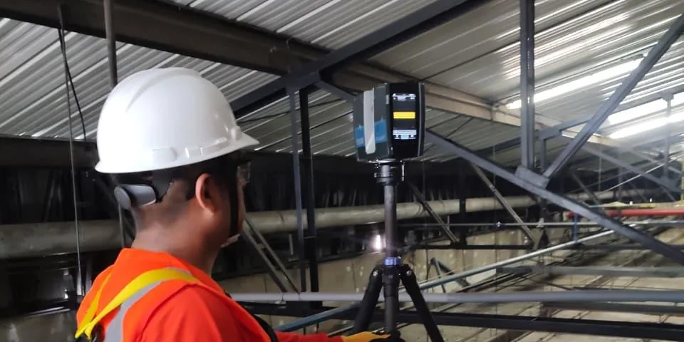
What we measure on a tank
A storage tank deforms over the years: it loses verticality, goes out of round, settles or develops dents. Laser scanning measures the entire shell with millions of points and shows those deviations on a 3D model, instead of a few manual readings.
These are the geometric measurements that the API 653 standard calls for in tank inspection. The final evaluation is signed by a certified inspector; we deliver the measured data and the model.
What the scan shows you
Four measurements in a single survey
-
Verticality
Deviation of the shell from vertical, along its full height.
-
Roundness
Out-of-roundness of each shell course against its design radius.
-
Settlement
Settlement around the bottom perimeter, measured at the base of the shell.
-
Deformation
Dents and buckling located on a color map of the shell.
Process
From tank to report, in four steps
- 01
Site visit
We define the scanning stations around the tank and, if it is empty, inside it.
- 02
LiDAR scanning
We scan from several stations around the tank, with the tank in operation.
- 03
Analysis
Sections per shell course, verticality, roundness, settlement and a deviation map of the shell.
- 04
Report and model
A report per tank, the point cloud and the 3D model, also explorable in Induscan.
Deliverables
What we deliver
- Registered point cloud of the tank
- Verticality report
- Roundness report per shell course
- Bottom perimeter settlement
- Color deformation map
- 3D model of the tank
- Access on the Induscan platform
Why laser scanning
The whole shell, not just a few points
| Manual measurement | Laser scanning | |
|---|---|---|
| What is measured | Readings along a few lines of the shell | The entire shell, with millions of points |
| Accuracy | Depends on the operator and access | ±1 mm with LiDAR |
| Operation | Sometimes requires work at height | From the ground, with the tank in operation |
| Record | A spreadsheet of values | Point cloud and 3D model, comparable at the next inspection |
FAQ
What clients ask us most.
Does the tank have to be emptied?
Not for verticality, roundness and perimeter settlement: it is scanned from the outside with the tank in operation. The bottom and interior can only be measured with the tank empty and clean.
Does it replace an API 653 inspection?
No. It provides the geometric measurements with greater coverage and accuracy; the integrity evaluation and report are signed by a certified API 653 inspector.
How accurate is it?
The LiDAR scanner measures with an accuracy of ±1 mm.
Can it be used to compare inspections?
Yes. When the scan is repeated, we compare the two point clouds and see how much the tank changed between one inspection and the next.
How long does it take?
It depends on the diameter, the height and the access around the tank. We give you the timeframe in the quote.
Next step
Let’s measure your tanks.
Tell us how many tanks there are, their approximate dimensions and whether they are in operation.
We received your request.
A SAMINS engineer will contact you within 24 business hours.
We could not send the form.
Your details are already written in a message. Send it via WhatsApp and we will reply just as fast.
Send via WhatsApp →